

How we found this topic: GAtrends, the trend-radar service we use to spot what gamers are searching for, showed this subject rising among GTA 6 queries on November 17 and 18, 2026. That is why this page exists, and we update it as soon as more is confirmed.
GTA VI19 novembre 2026Short answer: about twice the size of GTA V, six regions, no official size in miles
The GTA VI map is the state of Leonida. According to Rockstar North co-studio head Aaron Garbut, as reported by PC Guide (Abdul Haddi, September 30, 2026) from Game Informer's cover story, the map is "twice the size of GTA 5's". Rockstar has not published an official size in square miles or kilometres. Any number you see is an outlet's estimate. The game launches on November 19, 2026 on PS5 and Xbox Series X|S, and Rockstar has said an official printable map and poster will be free to download on launch day (see our map and poster news).
This guide gathers everything reported about the map, with a clear line between official statements, outlet estimates and leaks that remain unconfirmed.
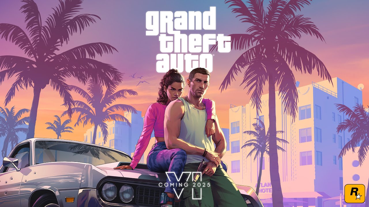
The six regions of Leonida
PC Guide, reporting Game Informer's story, lists six major areas: Vice City, the Leonida Keys, Grassrivers, Port Gellhorn, Ambrosia and Mount Kalaga National Park. The story moves the two protagonists, Lucia and Jason, through different parts of the map, which Rockstar says encourages players to explore beyond Vice City. esports.gg (Joey Carr) names a similar set: Vice City, Port Gellhorn, the Leonida Keys and Mount Kalaga National Park, with beaches, swamps, rural areas, small towns and islands. Note that some earlier reports, including an earlier Oggo guide, wrote "Leonida Quays" for the water region; the more recent coverage says Keys, so we use that name and will correct if Rockstar clarifies.
| Region | What is reported |
|---|---|
| Vice City | The big neon city at the centre of the game; esports.gg says Rockstar describes it as roughly twice the size of Los Santos. |
| Leonida Keys | Islands and water; locations seen in weather screenshots include Brian's Marina and Key Lento. |
| Grassrivers | A swampy, wild region. |
| Port Gellhorn | A port and industrial area. |
| Ambrosia | Named by Game Informer coverage; little else is known. |
| Mount Kalaga National Park | Nature and hunting area; most of it has not been shown. |
For more detail on the places, read our Leonida locations guide and the earlier map size and regions guide.
How big is the map? Official claim versus estimates
Official (via Game Informer, reported by PC Guide): "twice the size of GTA 5's". Rockstar also says it adds detail to buildings, alleys, rooftops and interiors so the world is denser, not only larger.
Outlet estimate (esports.gg): Joey Carr writes that, according to the developers, the map is about 2.5 times the size of Los Santos, which he puts at roughly 50 square miles, and calculates Leonida at about 120 to 130 square miles, with a table range of about 118 to 132. He compares Red Dead Redemption 2 at about 29 to 30 square miles. Important caveats: esports.gg's page gives no publication date, its numbers come from the author's own calculation and its table has internal inconsistencies, so treat the figures as a rough guess. Also, "twice the size of GTA 5" and "2.5 times Los Santos" are different comparisons, because the GTA V map includes the large Blaine County area.
Our reading: the only firm statement is the "about twice GTA V" comparison. Do not trust pages claiming exact kilometres.
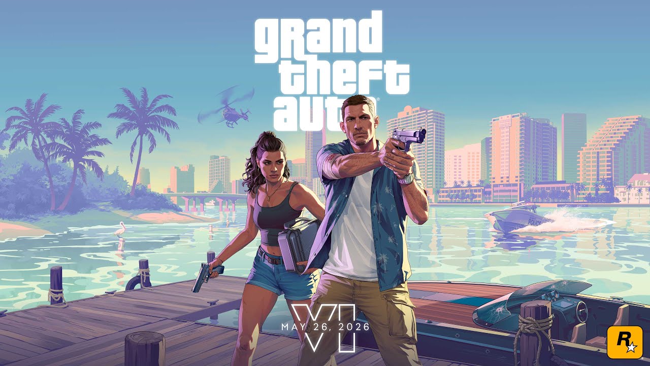
Weather on the map: The Weather Channel screenshots (November 2026)
On November 16, 2026, Notebookcheck (Adam Corsetti) reported that The Weather Channel shared six new GTA VI screenshots on X, credited to Rockstar Games and The Weather Channel, to show how weather works on the Leonida map. Rockstar's VP of Art for Lighting and Rendering, Owen Shepherd, described the weather as "localized, persistent, and above all dynamic". Storms slow driving, affect hunting and fishing and can make boating dangerous. The screenshots show:
- a wet road outside Brian's Marina in the Leonida Keys, with fog cutting visibility;
- a swamp in Pelican Valley, murky after a storm, which makes fish harder to spot;
- rough water near the Rusty Anchor that keeps NPCs off the dock, plus a lightning strike with a plane overhead;
- morning mist over treetops and grassland in Gambit Bay, described as a hunting area;
- traffic driving through rain in Key Lento.
We do not reproduce the screenshots because they are Rockstar's and The Weather Channel's property; you can see them in the Notebookcheck article linked in the sources. The September Game Informer story, as summarised by PC Guide, adds that tropical storms and hurricanes are confirmed, that wind affects water, hair and debris, and that rainbows appear.
Wildlife and activities across the map
PC Guide reports more than 170 animal species, including over 60 types of birds and more than 30 land mammals, plus fish and reptiles: flamingos, alligators, sharks, whales and monkeys are named. Some animals can be tracked and rare ones exist. A screenshot of Jason approaching deer with a rifle suggests that hunting could return in some form, but that is an inference. Activities mentioned in Rockstar's materials include base jumping, kayaking, mini-golf, airboating, jet-skiing, racing and visiting a zoo.
Rumours about the map (unconfirmed)
- Rumour: a full leaked map with county names. esports.gg reported an unverified leak of an "apparent entire map" that names counties called Lummox, Kelly, Leonard, Vice-Dale and Mariana, with Vice-Dale as a downtown modelled on Miami and Mariana to the south with a Keys feel. The outlet says the original source is unknown, the map could change and fans noted its resemblance to Los Santos. These county names do not match the six regions Rockstar named. We treat it as unverified and do not link to leaked material.
- Rumour: a large Liberty City expansion. Dexerto (Connor Bennett, September 18, 2026) reported fan speculation, based on a leak of GTA V files and a YouTuber's post, that a bigger Liberty City might be a paid DLC. Dexerto does not verify the files and Rockstar has not commented. Treat it as speculation.
- Rumour: a PC map or other platforms. No PC version is announced, so there is no PC map.
- Fake: giant "GTA 6 map is 1,000 times bigger" claims. Some low-quality sites make such claims from leaked terrain files. Ignore them.
What to expect on launch day
- Rockstar's official printable map and poster should be free to download on November 19 (see our news item).
- The game unlocks at midnight local time. Finish the pre-load first; see our patch guide for the small updates.
- Explore Vice City first, then the Keys and the swamp. In-game weather will change how you drive and fish, so plan for storms.
- Take screenshots, and check our performance guide for console settings.


En live : GTA VI
Tout voir → LIVE
Twitch
5 735
GTA VI comme tout le monde !emma !vero
mistermvfr
 LIVE
Twitch
2 992
🟥 GTA VI || DÉCOUVERTE [PS5 PRO] 🟥[SPOIL=BAN][BACKSEAT SI PAS DEMANDÉ=BAN]
Tontonfr
 LIVE
Twitch
2 221
LA NOCTURNE DE L'ANNÉE ! !maillots !eneba
ravusssssfr
 LIVE
Twitch
1 616
[DROP ON] GTA 6 LIVE 100H NON STOP JOUR 1 !idealo !eneba
beyAzfr
How the map compares with Rockstar's earlier worlds
Rockstar has given only one direct comparison: about twice the size of GTA V. That means a bigger world than Los Santos and Blaine County together, but the studio stresses density as well. Garbut, quoted by PC Guide, says buildings, alleys, rooftops and interiors have been given more detail. Compared with Red Dead Redemption 2, esports.gg estimates RDR2 at about 29 to 30 square miles and Leonida at about four times that, but this is the outlet's own calculation and Rockstar has published no square-mile figure. Our advice is to use the "twice GTA V" line as the only reliable one.
What the six regions mean for gameplay
The structure matters more than the number. Vice City is a dense city with beaches, nightlife and skyscrapers, which Rockstar compares with Los Santos in size. The Leonida Keys bring islands, marinas and boat travel, which is why the Weather Channel screenshots show a marina and a dock. Grassrivers and the swamps are wild, with alligators and fishing. Port Gellhorn is industrial. Mount Kalaga National Park suggests hiking and hunting, supported by the screenshot of Jason with a rifle near deer. Together these areas suggest a mix of urban crime, water travel and nature that Rockstar could use for story missions and side activities.
Travel and vehicles
Rockstar's Extended Look and related material show cars, motorbikes, fanboats, jet skis and canoes. The weather system, according to Notebookcheck's report of the Weather Channel screenshots, affects driving, boating, hunting and fishing, so a storm on the Keys will change how a trip feels. Rockstar has not published a list of vehicles or a fast-travel system. Do not trust lists that claim to know them.
Using the map before and after launch
- Before launch: read official information only. Rockstar's trailer frames and Game Informer's screenshots are official; "leaked maps" are not.
- On launch day: download the official printable map and poster that Rockstar says will be free.
- In the first hours: play the story, which opens the map gradually, then explore Vice City and the coast.
- Later: when the community has mapped the game, we will update this guide with real distances and region borders.
Why map leaks are unreliable
A leaked map can be an early draft, a fan creation or a mix of both. esports.gg's own report says the source of the "apparent entire map" is unknown, and the county names it gives do not match the six regions Rockstar itself named. Games change during development, and the final map may differ from any leak. That is why we label every leak as a rumour. Our site also does not link to leaked builds, files or videos, in line with our standing policy.
Quick glossary of map names
To avoid confusion between the many names that circulate: Leonida is the whole fictional state; Vice City is the main city inside it; the Leonida Keys are the island chain; Port Gellhorn, Grassrivers, Ambrosia and Mount Kalaga National Park are the other named regions. Smaller places such as Brian's Marina, Pelican Valley, the Rusty Anchor, Gambit Bay and Key Lento come from the Weather Channel screenshots and are locations inside those regions, as reported by Notebookcheck. Names like Lummox County or Vice-Dale come only from an unverified leak. If a site mixes these lists together, it is guessing.
Summary table: what is known about the map
| Claim | Status | Source |
|---|---|---|
| Map about twice the size of GTA V | Official statement, reported | PC Guide via Game Informer |
| Six regions | Reported from Rockstar's material | PC Guide, esports.gg |
| 120 to 130 square miles | Outlet estimate | esports.gg |
| Local, persistent weather, hurricanes | Official | PC Guide, Notebookcheck |
| County names such as Lummox and Vice-Dale | Unverified leak | esports.gg |
| Liberty City DLC | Speculation | Dexerto |
Read our confirmed vs rumours guide and the pre-load news for the rest.


